Satellite imagery, Deep learning, Spatial big data
Description
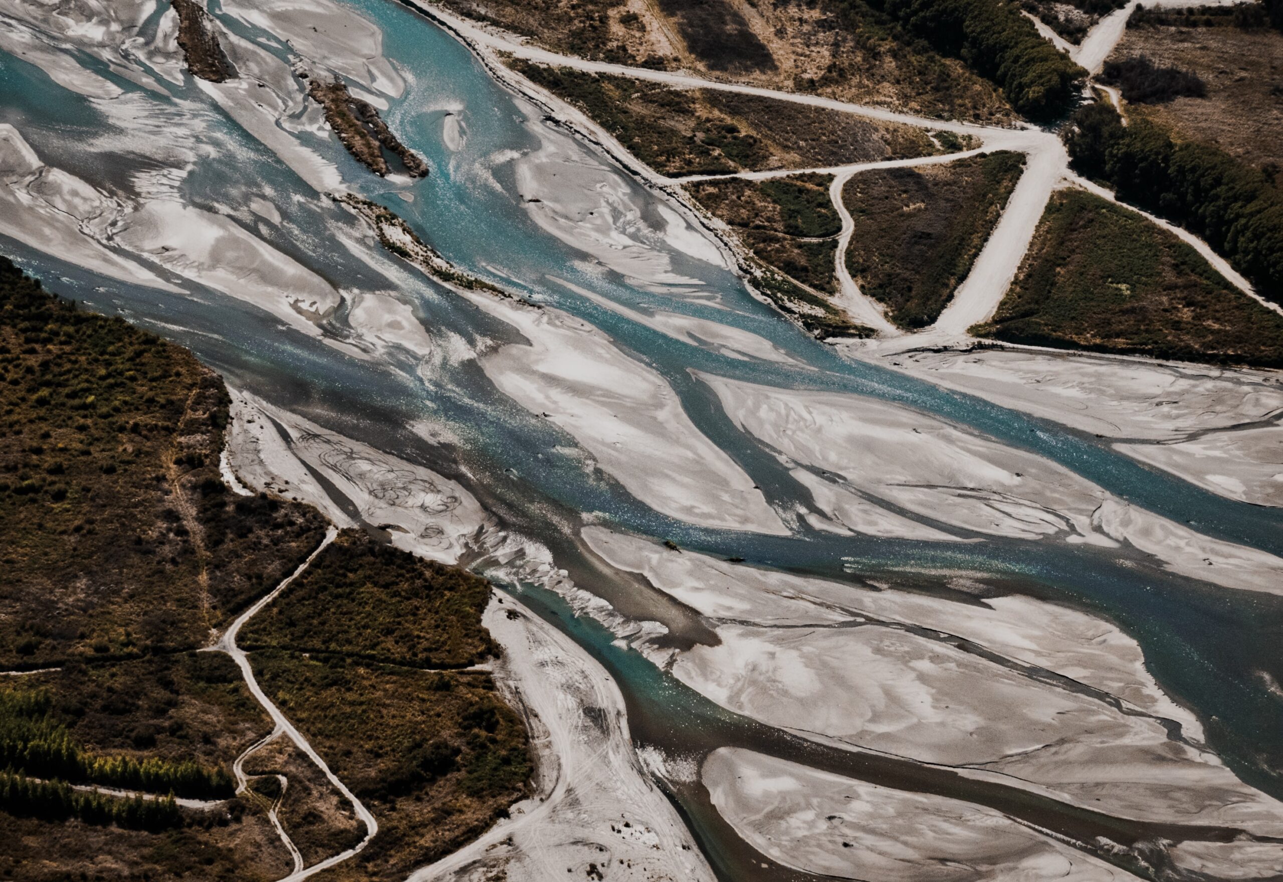
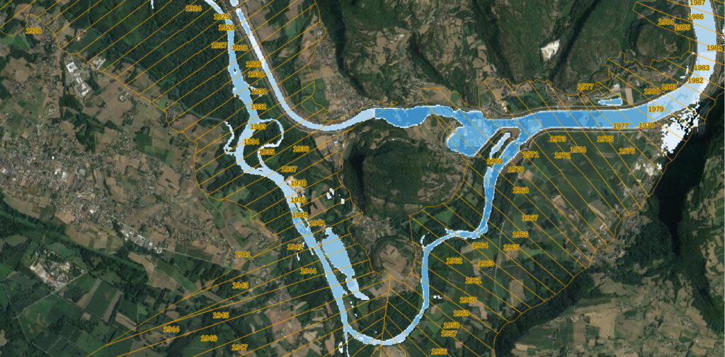
Class2 Python toolbox, developed in collaboration with Padova University, allows to process and classify the whole time series of Sentinel2 images, to monitor Water, Sediment and Vegetation (as the geomorphological macrounits) changes over time.